
Intelligence for Nature.
Insight for a Sustainable Future.
Himalayan Sustainability Intelligence (HSI) helps organizations measure nature, assess risks, design solutions and verify impact across land, forests, biodiversity, water and climate.
About HSI
One platform, from the ridgeline to the ledger.
HSI is an intelligence platform that converts environmental, ecological, agricultural, climate, social, and economic data from Himalayan landscapes into evidence-based decisions, project designs, monitoring systems, and investment opportunities.
- Landscape
- Data
- Intelligence
- Decision
- Project
- Impact
- Verification
- Finance
That is HSI.
Turning Data into Decisions and Impact
Data
Satellite, Field, Lab & Sensors
Intelligence
AI, GIS & Analytics
Decision
Risk, Opportunity & Priorities
Action
Projects & Interventions
Measurable Impact
Indicators, MRV & Verification
Finance
Investment & Impact Finance
Our Core Solutions
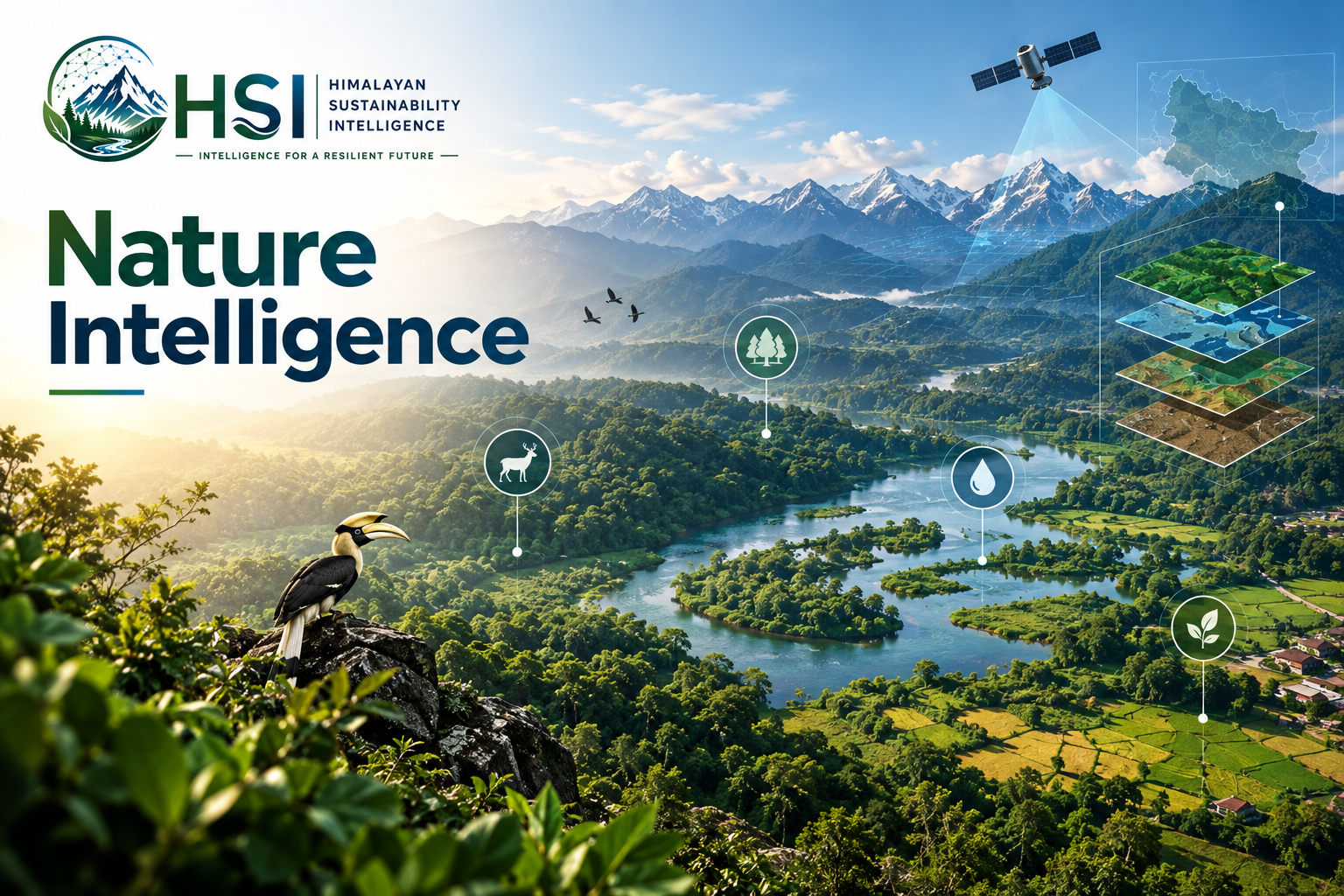
Nature Intelligence
Measure and map ecosystems, biodiversity, forests, water, soil and land condition.
- Biodiversity assessment
- Land & forest mapping
- Water & soil analysis
- Ecosystem health
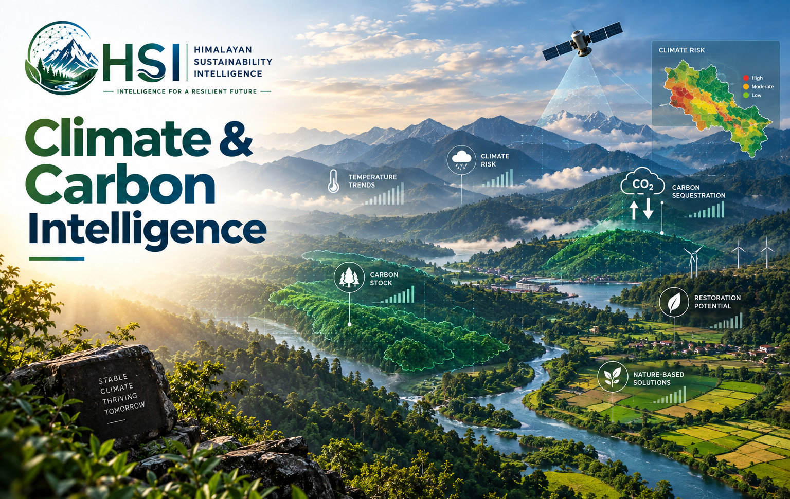
Climate & Carbon Intelligence
Assess climate risk, carbon stocks and sequestration potential across a landscape.
- Climate risk & vulnerability
- Carbon stock & sequestration
- Carbon-credit feasibility & MRV
- Restoration-to-market pathway
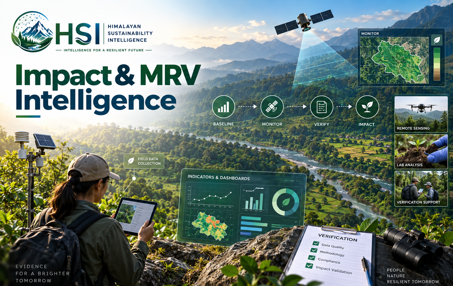
Impact & MRV Intelligence
Monitor, measure and verify impact with robust evidence and indicators.
- Baseline & monitoring
- Indicators & dashboards
- Field, remote sensing & lab
- Verification support
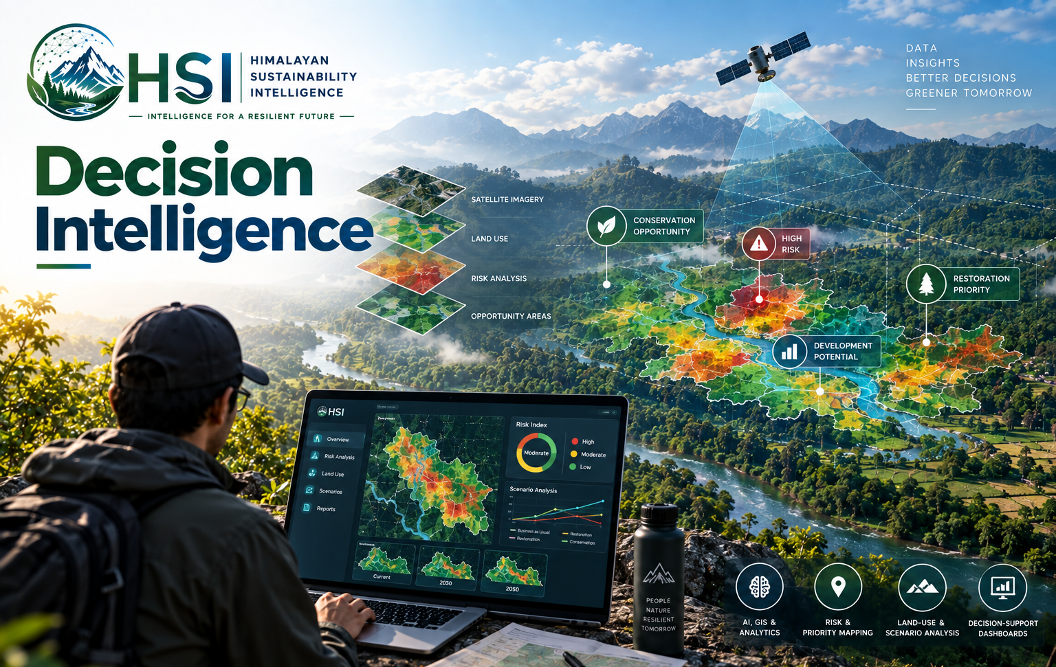
Decision Intelligence
AI, GIS and analytics that turn field data into risk, opportunity and priority calls.
- AI, GIS & analytics
- Risk & priority mapping
- Land-use & scenario analysis
- Decision-support dashboards
Every module, in full
Five modules. One landscape record.
Each module can stand alone or feed the others — open a module to see what it covers.
01Environmental Intelligence
Collects and analyzes the everyday environmental data that compliance, planning, and safety decisions depend on.
Environmental Intelligence
Collects and analyzes the everyday environmental data that compliance, planning, and safety decisions depend on.
- Air quality
- Water quality
- Soil quality
- Noise
- Waste
- Pollution sources
- Industrial emissions
- Environmental monitoring
- EIA data
- Environmental compliance
- Carrying capacity
- Cumulative environmental impacts
02Forest & Biodiversity Intelligence
Our deepest capability: tracking the health of Himalayan forests and the species they hold, from the canopy to the seed bank.
Forest & Biodiversity Intelligence
Our deepest capability: tracking the health of Himalayan forests and the species they hold, from the canopy to the seed bank.
Forest
- Forest cover
- Forest degradation
- Forest restoration
- Biomass
- Carbon stock
- Above-ground biomass
- Below-ground biomass
- Tree inventory
- Regeneration
- Fragmentation
- Landscape connectivity
Biodiversity
- Species inventory
- Threatened species
- Endemic species
- Invasive species
- Habitat suitability
- Species distribution
- Biodiversity hotspots
- Ecological corridors
- Climate refugia
- Phenology
03Agriculture & Agroforestry Intelligence
Built beyond conventional row-crop farming, with specialized models for Northeast India's own crops and land-use transitions.
Agriculture & Agroforestry Intelligence
Built beyond conventional row-crop farming, with specialized models for Northeast India's own crops and land-use transitions.
Agriculture
- Crop suitability
- Soil health
- Irrigation requirement
- Crop productivity
- Climate risk
- Pest risk
- Fertilizer optimization
- Water footprint
- Carbon footprint
Agroforestry
- Species selection
- Carbon sequestration
- Biomass
- Farmer income
- Biodiversity
- Soil improvement
- Ecosystem services
Specialized for Northeast India
- Bamboo
- Tea
- Rubber
- Arecanut
- Horticulture
- Medicinal plants
- Agroforestry
- Shifting-cultivation transition
- Indigenous crops
- NTFPs
04Climate & Carbon Intelligence
Our carbon pathway takes a landscape from baseline through intervention, monitoring, and verification to a market-ready project.
Climate & Carbon Intelligence
Our carbon pathway takes a landscape from baseline through intervention, monitoring, and verification to a market-ready project.
The carbon pathway
- Baseline
- Intervention
- Monitoring
- Verification
A worked example — forest restoration
- Forest restoration
- Baseline carbon
- Restoration intervention
- Biomass growth
- Carbon sequestration
- MRV
- Carbon-credit feasibility
- Project documentation
- Third-party validation & verification
- Carbon-market pathway
05Impact & MRV Intelligence
The monitoring backbone that runs beneath every module, keeping every claim traceable back to evidence.
Impact & MRV Intelligence
The monitoring backbone that runs beneath every module, keeping every claim traceable back to evidence.
- Baseline
- Intervention
- Indicators
- Targets
- Monitoring
- Evidence
- Verification
12+
Years of Combined Expertise
14+
Projects Delivered
8
States in Northeast India
30+
Experts & Scientists
2+
Advanced Labs & Technologies
100%
Commitment to Integrity & Impact
HSI Impact Passport
Every project gets a digital identity that connects baseline, intervention, impact, evidence, risks, safeguards, indicators, MRV and finance.
Explore Impact PassportWho We Work With
CORPORATES
ESG, Nature Risk, Net Zero & Sustainable Operations
GOVERNMENT & PUBLIC SECTOR
Landscape Planning, Monitoring, Restoration & Adaptation
PROJECT DEVELOPERS
Carbon, Restoration, Agroforestry, Biodiversity Projects
FINANCIAL & DEVELOPMENT INSTITUTIONS
Risk Screening, Impact Measurement & Investment Intelligence
Let's build a sustainable
future together.
Whether you have a question about our platform, need insights for a project, or just want to connect — we'd love to hear from you.
Our Office
Himalayan Sustainability Intelligence Pvt. Ltd.
Guwahati, Assam, India